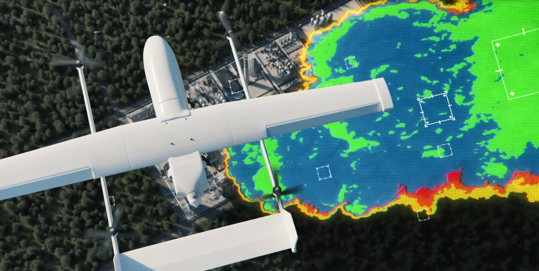
This project will develop and validate an unmanned aerial vehicle (UAV) payload to automatically detect and map a chemical plume at standoff distance situational awareness. The payload will identify, quantify, and geolocate chemical warfare agents (CWAs) and toxic industrial chemicals (TICs) at limits of detection at or below Acute Exposure Guideline Level 1 concentrations. Data will be automatically transmitted in near real-time (<5 minutes) to create a map of a chemical plume located between ground surface and 5,000 feet above ground.
Response to a chemical plume is currently a time consuming and labor-intensive process. This UAV payload will provide enhanced operational outcomes for the warfighter and first responders by providing near real-time at standoff distance situational awareness, and reducing response time across a broad area of operation. The transmitted data will better allow operators and first responders to react to CWA or TIC releases as well as monitor an area for threats.
The performer shall implement a USG-approved commercialization strategy to make the system available directly through the performer, GSA Catalog, and DLA Troop Support.

